Key Takeaways from Foss4GNA 2025
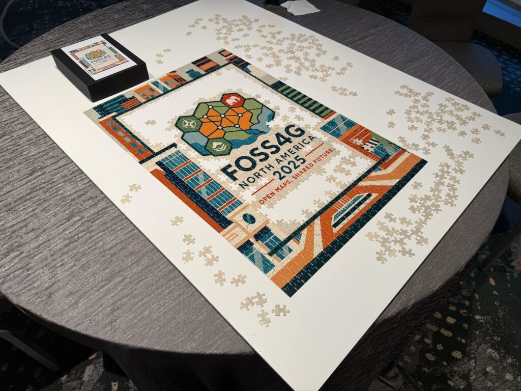
GCS Geospatial had the privilege of attending and supporting the FOSS4G North America 2025 conference in Reston, VA this November. As always, we expected to bring back fresh insights, and to have advanced conversations around innovation, interoperability and impact in the geospatial domain. This year we were specifically curious to explore 3D Tiles and full workflows, learn how OGC API’s might improve data integration, and discover what Zarr could mean for 3D and point cloud data workflows. Here is a summary of three conference themes that emerged and our key takeaways.
Theme 1: New and updated formats
Several presentations highlighted the new Zarr format instead of COG for optimizing data for cloud storage, viewing, and dissemination. Speakers noted that Zarr may serve as an alternative data format in future deployments of data repositories, particularly for larger AOIs. Even the Microsoft Planetary Computer presentation referenced Zarr in place of COG for larger, multi-dimensional datasets. It was also noted that QGIS 4 would support Zarr suggesting wide-scale adoption as Zarr offers faster visualization and data retrieval. Zarr format may not replace COGbut there are use cases when it’s preferred.
We came away with two new updates. First, updates to Cesium in relation to online repositories with 3D Tiles emerged as another potential format. The most notable future updates were time-dynamic tiles which are promising and something that will be worth experimenting with. Second, Datums and projections will also be updating to account for shoreline recession/expansion, land-use change, and the shifting of plate tectonics. Future projection updates include a time component as a novel concept. Although users will not need to make significant changes beyond routine software updates, it remains an exciting indication of how GIS technology will continue to evolve.
Theme 2: Emphasis on sharing trustworthy data
Several talks emphasized the importance of openly sharing accurate data. The keynote address discussed how data sharing and technical education can help with large-scale disaster response. Disasters which cost over a billion dollars in damages happen more frequently than ever. As a result, accessing quick and relevantdata is extremely important. However, it can be difficult to verify or validate derived products (such as fire damage reports) since various agencies have different reporting protocols. Maintaining lines of communication between organizations could help bridge this gap.
Government bodies are already working toward making data more public. One talk discussed updating shared data on OpenStreetMap, specifically with regard to unsanctioned trails by connecting land managers, citizen mappers, and recreation area users. By leveraging opensource opportunities to update this data verified updates can happen more quickly.
Theme 3: Shared experiences bridge knowledge gaps
It was exciting to see how others use similar tools for different applications. The Grounded: Local Datum Mapping with Drone Deploy talk served as a good refresher on best practices for UAS missions. It discussed the use of GCP’s and PPK corrections using CORS networks. While GCS has used CORS in the past, it was interesting to learn more about how the data reaches the end user through the NTRIP protocol.
The Development of Online Mars Viewshed Analysis Tool presentation focused on aiding navigation for the Mars rovers and closely aligned with the viewshed work GCS has conducted over the past year. Although its application differed, there were familiar challenges to those we experienced, notably processing time. Additional work remains, including optimizing the curvature coefficient for Mars and improving processing speed.
Key GCS Takeaways
- Continue GCS Geospatial work involving data sharing via accessible repositories. The Open Source Software community benefits from collaboration between developers, and this sentiment is extended to ways the community can better share and access quality data.
- Layering the multiple observer viewsheds together may be something we consider in the future. Given our work with viewsheds this past year, we are comforted in seeing similar and unique challenges present for the development of the online viewshed tool and Mars visibility including refinement of curvature coefficient.
- Continue to incorporate knowledge into CORS networks not only for collecting data but maximizing accurate information in our future UAS data collection.
- Watch for new updates. Test the time dynamic 3D tiles once they release. Also see how time plays a role in projections and their transformations from the Coordinate Reference Systems when the Datum’s update is released.
We are so grateful for our GIS community and believe sharing best practices, insights and learnings makes us each better. Being surrounded by so many passionate, mission-driven professionals with collaborative spirit serves to push our industry forward. We are already looking forward to our next gathering where we can share progress and new learnings.