Advancing capabilities, accuracy, and data availability to support evolving mission objectives
The future of geospatial intelligence (GEOINT) lies in 3D. GCS Geospatial is dedicated to pushing the boundaries of advanced 3D geospatial data and precision point location mensuration to empower mission success for our defense and intelligence agency customers. We leverage our in-depth knowledge of spatial data structures, including point clouds, 3D meshes, and 3D vectors to deliver an unparalleled understanding of accuracy, uncertainty, and error.
3D Geospatial Intelligence Accuracy & Advancements
GCS Geospatial understands the unique challenges and opportunities represented by 2D, 2.5D, and 3D geospatial data structures and has been a thought leader in the industry for more than a decade, including early research in the operational application of 3D GEOINT.
We provide:
- Testing
- Accuracy assessments
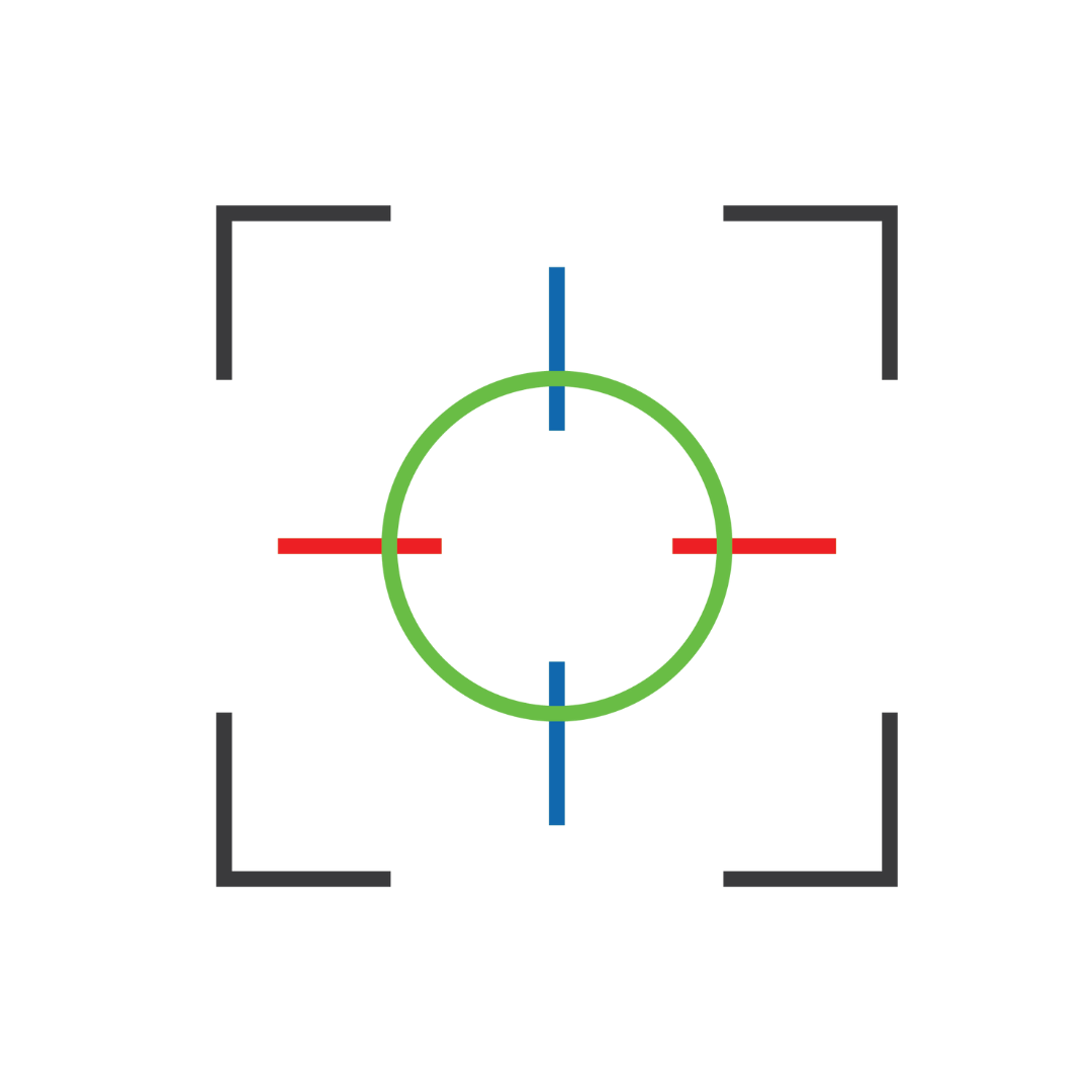
- Precision 3D point location mensuration
- Testing for conformance/ compliance with application standards
- Support to exercises
Contract Vehicles
Serving specialized missions for the US Defense and Intelligence Communities