Full systems development life cycle (SDLC) support for all geospatial missions
GCS Geospatial brings industry-leading expertise in systems engineering and integration (SE&I) to geospatial science and remote sensing. We provide full systems development life cycle (SDLC) consulting and support for geospatial intelligence (GEOINT) for US Defense and Intelligence Communities—delivering proven engineering principles and processes to achieve program and mission success.

Disciplined SE&I Engineering Methodologies
GCS Geospatial provides a structured approach to SE&I throughout the system development life cycle. Our methodologies ensure:
- Process-driven engineering from initial concepts to enterprise operations
- Responsiveness through balanced agility and robust processes
- Dependability driven by repeatable processes and metrics
End-to-End Full System Development Life Cycle Support
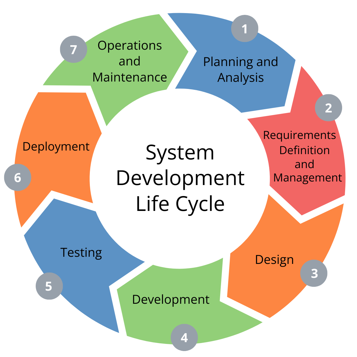
GCS Geospatial manages all program and project phases, from planning to maintenance, with dedicated tools and expertise to handle the requirements and end-to-end workflows that are specific to geospatial systems and data.
- Planning and analysis
- Requirements definition and management
- Design
- Development
- Testing
- Deployment
- Operations and maintenance
User Outreach & Support
GCS Geospatial provides accessible training, documentation, and assistance to empower users with the knowledge and resources needed to effectively leverage these advanced technologies.
- Documentation
- Training materials development and training existing and new capabilities
- Tradecraft development for new technical capabilities

Contract Vehicles
Serving specialized missions for the US Defense and Intelligence Communities.


