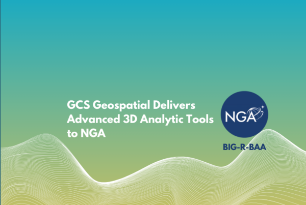
Advancing NGA 3D Analytics: Cloud Deployment and Next-Generation Line-of-Sight Research
GCS Geospatial and Hobu, Inc. teams deliver updates to Eptium and improvements to their Line-of-Sight plugin advancing NGA 3D analytics.

Chart the course—of the field, and of your career. At GCS Geospatial, you can put your skills into practice to advance government missions with real impact.

© 2026 GCS Geospatial, a Grover Consulting Services, LLC Company