Leading expertise in both fundamentals and state–of-the–art GEOINT, with services ranging from concept development to new technical capabilities
GCS Geospatial leverages sound science, engineering, and cutting-edge research to push the boundaries of geospatial science, developing novel algorithms and software tools to unlock deeper insights from remotely sensed and other geospatial data. We translate scientific breakthroughs into practical solutions and innovative capabilities for the US Defense and Intelligence Communities.
Advanced Research for Deep Geodata Insights
GCS Geospatial bridges the gap between geodata and geospatial intelligence, leveraging the full intelligence cycle from tasking and collection to dissemination to unlock deep insights. Grounded in the fundamentals of geodata and geoprocessing and with a thorough understanding of state-of-the-art GEOINT, our experts help government organizations fully realize the value and utility of their data.
Advanced research in key geoprocessing areas:
- Full asset tasking, collection, processing, exploitation, and dissemination (TCPED) intelligence cycle
- Advanced tools and processes for 3D accuracy assessment
- Data integration
- Advanced line-of-sight topics
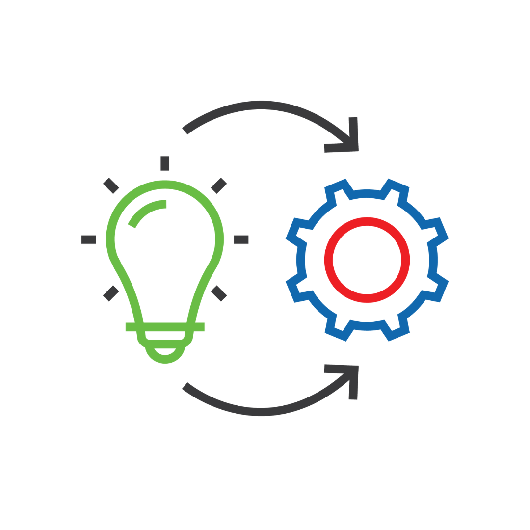
Innovative Development from Concept to Actionable Solutions
From initial concept development to algorithms and software, we deliver advanced solutions and technical capabilities to help the US Defense and Intelligence Communities achieve their mission goals.
- Concept development
- Algorithm development
- Software development
- New technical capabilities
Contract Vehicles
Serving specialized missions for the US Defense and Intelligence Communities.