In the first installment of this series, we discussed the limitations of current reference data collection methods used in positional accuracy assessments of geospatial data and products. Here, we’re taking a look at what GCS Geospatial is doing (and how we are doing it) to address inadequate ground truth data, and our next steps to advance this work forward.
Moving toward cost-effective, standardized reference data collection
The geospatial community is sometimes challenged with defining and measuring positional accuracy in definitive, quantitative, and objective ways. A leading reason for this is the lack of suitable reference, or “ground truth,” data available from control point networks. This gap often leads to the risk of casual accuracy assessments of 2D and 3D geospatial data and products.
GCS Geospatial is working to change that.
Developing a robust, standardized ground truth data collection methodology

GCS Geospatial is developing a suite of standardized and reusable metrics, processes, and tools that enable cost-effective methods for the survey and collection of positional reference data for use in quantitative accuracy assessments. Our objective is to facilitate more efficient collection of ground truth data for use in 2D and 3D data and product evaluations.
As part of this process, our work moves beyond conventional X, Y, Z positioning of reference points to add characterization of these points with high-fidelity 3D data collection. This aims to facilitate greater automation in the detection, recognition, extraction, precise positioning, and comparison of each control point to the data set being evaluated.
Leveraging technological advances for remotely sensed geodata
To achieve this process, GCS Geospatial is leveraging advances that have led to an explosion in the availability of remotely sensed geodata. These advances include increased availability of inexpensive platforms, sensors, and processing tools for 2D and 3D geodata collection and have opened the door to non-traditional surveying techniques that are faster, more cost effective in some applications, customizable, and result in highly characterized 3D models. Cost effective uncrewed aerial system (UAS) platforms, cameras and other sensors, survey instrumentation, and processing techniques, algorithms, and software address many historical issues with reference data availability for positional geodata accuracy assessments.

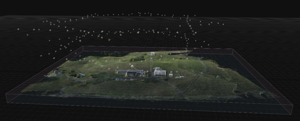
As part of the Verity Solutions™ suite of technologies, GCS Geospatial is applying an integrated combination of close-range terrestrial photogrammetry, low-altitude (near-terrestrial) UAS photogrammetry, and limited Global Navigation Satellite System (GNSS) real-time kinematic (RTK) surveys to collect high-fidelity 3D data of reference points and features of interest in a control point network for reference in accuracy assessments. By complementing terrestrial with near-terrestrial (UAS) methods, our process enables collection of reference control data in difficult terrain or areas impractical for a traditional total-station survey. Additional benefits include:
- Faster and more cost-effective collection of specifically suitable positional reference data
- Increased automation in the performance of objective quantitative positional accuracy assessments of 2D and 3D geospatial data and products
- Less potential for human bias in the point selection and positioning process
Next steps
These efforts are part of GCS Geospatial’s plans to offer a full range of superior geospatial reference data collection and augmentation for rigorous, quantitative, and objective accuracy assessments.
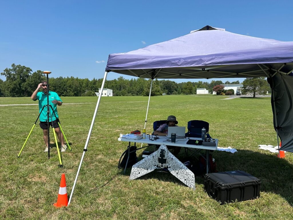
Beginning with field training and testing in May 2024 on a UAS-based camera system, GCS experts next completed a first round of both ground and aerial reference data collection in August. Personnel are comparing this dataset against existing survey points, with analysis underway to quantify errors. Further data collection efforts for process refinement are in the planning stages.


